Five routes, from the easiest to the most demanding, all starting less than 1 hr 20 from Le Clos Fleuri. Distances, elevation gain, surfaces and exposure: enough to choose before you leave, not once you are there.
At a glance
Route | Distance | Time | Elevation gain | From the hotel |
Loop around Lake Saint-Ferréol | ~5 km | 1 hr 30 | low | 21.6 km · 25 min |
Along the Rigole de la Montagne | 5 to 12 km | 1 hr 30 to 3 hr | almost none | 28.4 km · 34 min |
Lampy reservoir and woodland | 4 to 6 km | 1 hr 30 | low | 28.4 km · 34 min |
Cubserviès waterfall | 3 to 6 km | 1 hr 30 to 2 hr | moderate | 58.9 km · 1 hr 07 |
Pic de Nore | variable | 1 hr to 3 hr | variable | 82.2 km · 1 hr 18 |
1. The loop around Lake Saint-Ferréol — the easiest
~5 km · 1 hr 30 · low elevation gain · 25 minutes from the hotel
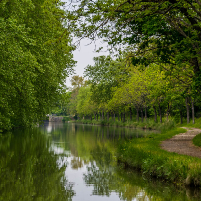
The path runs right around the lake, largely under trees, with no difficulty. Suitable for everyone, young children included.
What makes it interesting: this is not a natural lake. It is an artificial reservoir dug between 1667 and 1672 to feed the Canal du Midi — at the time the largest hydraulic structure in Europe. The dam is monumental. You are walking on a 17th-century construction site.
The park below the dam holds waterfalls and a fountain jet. Allow another 30 minutes.
The smart move: in summer, walk the loop in the morning and swim in the afternoon.
2. Along the Rigole de la Montagne — the best idea of all
5 to 12 km, as you please · almost no elevation gain · trailheads 34 to 40 min away
Our favourite route, and the least known.
The Rigole de la Montagne is a man-made channel that captures water at the Prise d’Alzeau (33.3 km, 40 min) and carries it some thirty kilometres along the mountainside to the network that feeds the Canal du Midi. It passes the Lampy reservoir and crosses the ridge through the Voûte des Cammazes, a tunnel cut at the end of the 17th century.
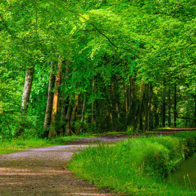
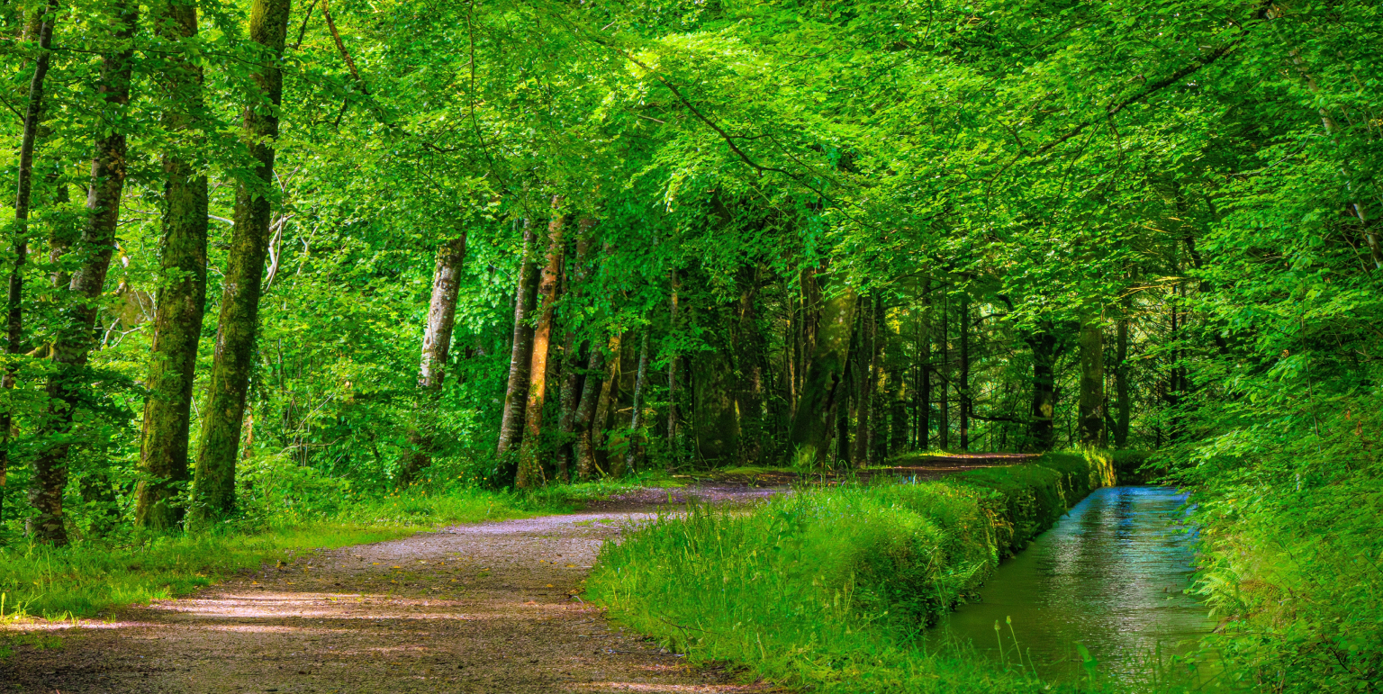
Why it is so good to walk: a rigole follows a contour line. So the path is flat, for kilometres, deep in mountain forest. You get the scenery of the Massif central without the climbing.
How to do it: park at the Prise d’Alzeau or the Lampy reservoir and follow the path beside the water. Turn back whenever you like — it is an out-and-back, so you are never committed.
What you grasp as you walk: that someone, in the 17th century, traced this line along the mountainside for 30 kilometres, on a gradient so slight it is invisible, so the water would arrive at exactly 189 metres at Naurouze. Without it, there would be no Canal du Midi.
3. The Lampy reservoir and its woodland — the most restful
4 to 6 km · 1 hr 30 · low elevation gain · 34 minutes
An 18th-century reservoir deep in the forest, with a stone dam, an understorey of beech and conifers, and the rigole running alongside.
It is cool, shaded and quiet. In July and August it is the refuge: several degrees cooler than the plain, with shade everywhere.
The route links up with the rigole if you want to extend it.
4. The Cubserviès waterfall — the most spectacular
3 to 6 km depending on where you start · 1 hr 30 to 2 hr · moderate elevation gain · 58.9 km, 1 hr 07
One of the highest waterfalls in France: a drop of around 90 metres, in a wooded valley on the north slope, above the hamlet of Cubserviès.
The warning, and it matters: a waterfall depends on rain. In spring, or after a wet spell, it is spectacular. In August after six weeks of drought, it is a trickle. A 1 hr 07 drive for a trickle is expensive.
Go in spring. That is the moment.
The area — Roquefère (65.5 km, 1 hr 02), Labastide-Esparbairenque, Cubserviès — is a country of schist hamlets clinging to the slope, former villages of sawyers and foresters. This is the most authentic Montagne Noire, and the least visited.
5. Pic de Nore — the highest
1,211 metres · 82.2 km, 1 hr 18
The highest point. You can drive up to the relay station, which makes it as much a viewpoint as a hike. Several paths radiate from the summit, from 1 hr to 3 hr.
The view: the Pyrenees to the south, the Massif central to the north, the Aude plain, and the Mediterranean when the air is very clear.
Three things to know: – 1 hr 18 of driving, so 2 hr 40 there and back. Only go when the sky is clear, otherwise it is wasted. – It is 8 to 10°C cooler than Castelnaudary. A windproof jacket is essential, even in August. – The wind never drops along the summit ridge.
In hazy weather, stay at Saissac (26 min): the view over the Lauragais is already superb and you save 2 hours in the car.
Preparing your hike
- Closed shoes. The north slope is damp, and the rocks are mossy and slippery even in fine weather.
- Water. There is nothing along these routes.
- A windproof jacket. At altitude it is 8 to 10°C cooler, and windy.
- After rain: paths on the north slope stay muddy and slippery for 48 hours. The south slope dries faster.
- In summer: this is where to head. When the Lauragais is at 36°C, the Montagne Noire is at 28°C under the trees.
- In winter: snow and ice are possible above 800 m. Pic de Nore can be closed.
- Maps: the path network is dense and not always finely waymarked. Take a map — mobile coverage is patchy in the valleys.
The seasons
Spring: the best. Full streams, waterfalls at their peak, green forests, nobody about. Summer: the cool refuge. Lampy and Saint-Ferréol. Autumn: the most beautiful. Beech trees, low light, chestnuts. Winter: waterfalls at their fullest, but access at altitude is uncertain.
From Le Clos Fleuri
The nearest trailhead is 25 minutes away, and the heart of the water network is under 40. You can leave at 8 am, walk for 3 hours along the rigole, and be back for the pool by 2 pm.
And after a hike, the restaurant is on site: handmade cassoulet, duck from the Montagne Noire supplied by a local producer — from the very country you crossed that day.
Waymarking, access and conditions change. Check with the Lauragais Audois Tourist Office before setting out.