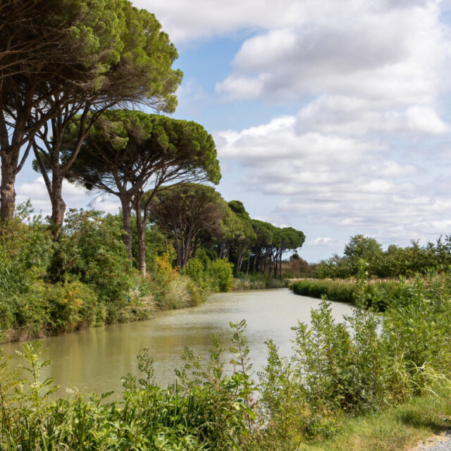

Five walks, all less than 25 minutes from Le Clos Fleuri, ranked from easiest to most demanding. Real distances, elevation gain, surfaces and shade: enough to choose before you leave rather than once you are there.
At a glance
Walk | Distance | Time | Elevation gain | From the hotel |
Around the Grand Bassin | 2.5 km | 40 min | flat | 1.9 km · 3 min |
Grand Bassin → Saint-Roch locks | 3 km return | 1 hr | flat | 1.7 km · 3 min |
Old town circuit and the windmill | 3 km | 1 hr 15 | ~60 m | 1.6 km · 3 min |
Naurouze watershed | 3 to 4 km | 1 hr 15 | low | 15.3 km · 17 min |
Villeneuve-la-Comptal hills | 5 to 7 km | 2 hr | ~120 m | 6.5 km · 9 min |
1. Around the Grand Bassin — the most accessible
2.5 km · 40 min · flat · 3 min from the hotel
The largest body of water on the Canal du Midi (7 hectares), designed by Riquet as a winter harbour and turning basin. The circuit is flat, easy going, and manageable with a pushchair or wheelchair over most of the route. Shaded by plane trees for much of the way.
It is the walk to do first: it gives you the scale of the canal and the town’s relationship with its water.
2. From the Grand Bassin to the Saint-Roch locks — the most instructive
3 km return · 1 hr · flat · 3 min from the hotel
Follow the towpath to the four chambers of Saint-Roch, which make up about ten metres. If a boat goes in, stay: the full manoeuvre takes around forty minutes and you can follow it on foot, step by step.
The right moment: mid-morning or mid-afternoon, when the hire boats are moving. Early in the morning, the reach is often empty.
3. The old town circuit and the windmill — the most urban
3 km · 1 hr 15 · about 60 m of elevation gain · 3 min from the hotel
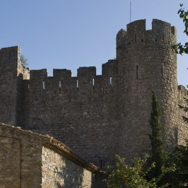
From Place de la République, you climb towards the collegiate church of Saint-Michel, pass the chapel of Notre-Dame-de-Pitié and the old Présidial, then go up to the Cugarel windmill (17th century), the last of the thirty-odd mills that once crowned these hills.
Careful: the last 300 metres up to the mill are steep, on ground that can be slippery after rain. Closed shoes. From the top: the plain, the canal, the Montagne Noire, and the Pyrenees in clear weather.
4. The Naurouze watershed — the most interesting
3 to 4 km · 1 hr 15 · low elevation gain · 15.3 km, 17 min from the hotel
The point where the waters of the Canal du Midi divide, at 189 metres. It is the technical crux of the whole structure: the summit from which water runs one way to the Atlantic and the other to the Mediterranean. Riquet solved the problem by capturing the water of the Montagne Noire and bringing it here along the rigole.
On site: the obelisk raised in the 19th century to Riquet’s memory, an avenue of plane trees, the basin, and the Naurouze stones. A short walk that explains the Canal du Midi better than any information panel.
Parking on site, wide paths, generous shade.
5. The Villeneuve-la-Comptal hills — the most physical
5 to 7 km · 2 hr · about 120 m of elevation gain · 6.5 km, 9 min from the hotel
The walk that gives you the Lauragais: hills, cereal fields, sunflowers in summer, and a horizon running from the Montagne Noire to the Pyrenees.
What to know: there is virtually no shade. In July and August, set off before 10 am or after 6 pm. After rain, the earth tracks become heavy going. The wind is almost constant — which is also what makes the walk bearable in summer.
Preparing your walk
- Wind is the constant of the Lauragais. A windproof jacket is useful even at 25°C.
- Shade is there along the canal and absent on the hills. Choose according to the hour.
- After rain, stay on the towpath: the earth tracks clag.
- In summer, set off early. After 11 am, the hills are an oven.
- Le Clos Fleuri is 3 minutes from both canal walks: you can head out before breakfast and be back for the pool.
Got a question?
We are here to help
Before 10 am or after 6 pm on the hills, which have no shade. The canal walks stay usable all day thanks to the plane trees.
Read also: Walks around Castelnaudary: easy routes · The Canal du Midi by bike · Hiking in the Montagne Noire