The Montagne Noire is the south-western edge of the Massif central, and it starts 26 minutes from Le Clos Fleuri. It is also, and nobody ever says so, the reason the Canal du Midi exists: without it, there would be no canal. Here is what to do there, and why it is more interesting than a simple day in the countryside.
At a glance
Site | From the hotel | What for |
Saissac castle | 23.1 km · 26 min | heritage, panorama |
Lake Cammazes | 20.3 km · 26 min | lake, forest |
Lake Saint-Ferréol | 21.6 km · 25 min | swimming, family |
Revel | 22.6 km · 24 min | bastide town, market hall |
Montolieu | 26.9 km · 34 min | book village |
Sorèze | 28 km · 30 min | abbey school |
Lampy reservoir | 28.4 km · 34 min | picnic, quiet |
Prise d’Alzeau | 33.3 km · 40 min | start of the rigole |
Castles of Lastours | 58.8 km · 52 min | four castles |
Cubserviès waterfall | 58.9 km · 1 hr 07 | waterfall |
Pic de Nore | 82.2 km · 1 hr 18 | highest point, 1,211 m |
The fact that changes everything
The Canal du Midi crosses the Naurouze watershed, at 189 metres — 17 minutes from Le Clos Fleuri. A canal that climbs to 189 m needs water at the top. And there is no river at 189 m in the Lauragais. That is why nobody had ever managed it.
Riquet’s solution: go and fetch the water from the Montagne Noire.
The north slope of the Montagne Noire catches the Atlantic rain — it is the only place within reach of Naurouze where rainfall is reliable. Riquet captured the water there at the Prise d’Alzeau (40 min) and brought it down through a network of rigoles, by way of the Lampy reservoir (34 min), to the canal. Lake Saint-Ferréol (25 min), dug between 1667 and 1672, serves as the buffer reservoir.
In other words: the Montagne Noire, Saint-Ferréol, Lampy, Alzeau and Naurouze are not five sites. They are a single structure, and you can travel its full length from Castelnaudary in one day.
It is probably the finest thing to do in this region, and almost nobody presents it that way.
Two mountains in one
The Montagne Noire has two slopes, and they have nothing in common.
The north slope (Revel, Sorèze, Saint-Ferréol, Lampy, Alzeau) catches the Atlantic rain: beech and fir forests, streams, moss, an atmosphere that recalls the Massif central. It is green, it is cool, and that is where the water is.
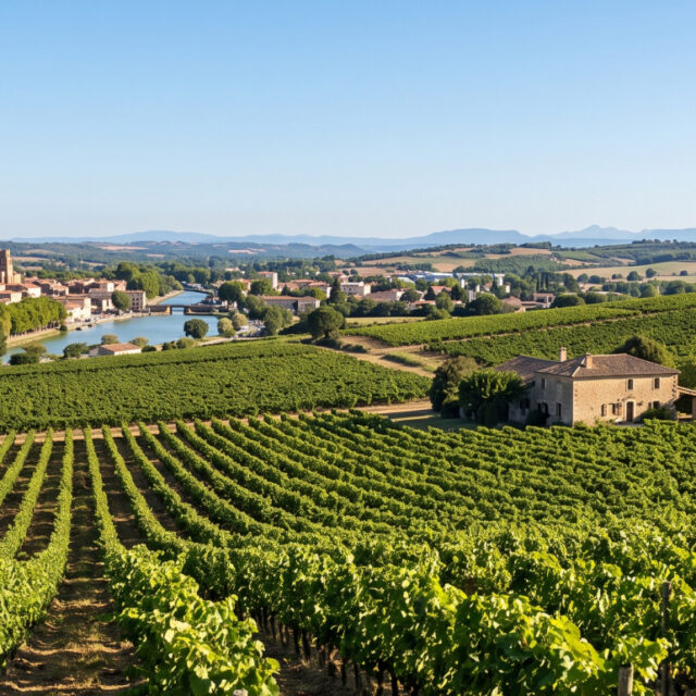
The south slope (Lastours, Cabardès, Caunes) tips into the Mediterranean: holm oaks, garrigue, dry stone, vines. It is dry and mineral.
You cross from one to the other over the ridge. Within a few kilometres, the landscape, the vegetation and the climate change completely. It is the same divide as at the Naurouze watershed — the one that also explains why Cabardès is the only appellation in France allowed to blend Atlantic and Mediterranean grape varieties (see The vineyards around Castelnaudary).
The name “Montagne Noire” — Black Mountain — comes from this: seen from the Lauragais plain, it looks dark, covered in forest, in contrast to the pale hills of the Lauragais.
Lake Saint-Ferréol — the essential
21.6 km · 25 minutes
The most complete site in the Montagne Noire, and the closest.
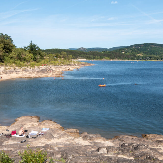
It is a 17th-century artificial lake, held back by a monumental dam and dug between 1667 and 1672 to feed the Canal du Midi. At the time, it was the largest hydraulic structure in Europe.
Today: lifeguarded swimming in season, a beach, a walk around the lake, water sports, a park and waterfalls. It is the best family outing in the region. See Lake Saint-Ferréol.
The Lampy reservoir — the quiet one
28.4 km · 34 minutes
Smaller, more discreet and more wooded than Saint-Ferréol. A reservoir deep in the forest, with an 18th-century stone dam, woodland, and the Rigole de la Montagne that you can follow on foot.
It is the best spot in the Montagne Noire for a picnic and a nap. See Where to picnic and relax in the Montagne Noire.
Pic de Nore — the highest point
82.2 km · 1 hr 18
1,211 metres, the summit of the Montagne Noire. You drive up to the relay station.
The view: the Pyrenees to the south, the Massif central to the north, the Aude plain, and the Mediterranean when the air is very clear. It is the only place from which you can take in the entire geography of Languedoc at a glance.
Honesty first: 1 hr 18 of driving, so 2 hr 40 there and back for a view. It is worth it if the sky is clear. In hazy weather, stay at Saissac (26 min), where the view over the Lauragais is already magnificent.
And bring a windproof jacket, even in August. At 1,211 m it is 8 to 10°C cooler than Castelnaudary, and the wind never stops.
Villages and heritage
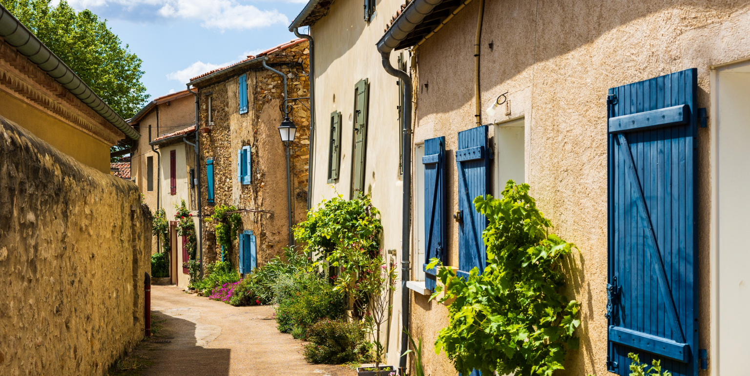
Saissac (26 min): a ruined fortress overlooking the Lauragais, once a Trencavel stronghold. The best interest-to-distance ratio in the Montagne Noire.
Revel (24 min): a 14th-century bastide town with a timber-framed central market hall and belfry. A town with a cabinetmaking tradition.
Sorèze (30 min): the abbey school, a royal military academy in the 18th century and one of the great teaching institutions of the Ancien Régime.
Montolieu (34 min): the book village. Bookshops, second-hand dealers and workshops in a village of fewer than 800 inhabitants. The best outing in the rain.
Lastours (52 min): four castles on a single ridge, on the south slope. The most spectacular site in the area. See The finest Cathar castles.
Choosing by season
Spring — the best. The streams are full, the waterfalls are flowing, the forests are green, and there is nobody about. This is the moment for Cubserviès and the rigoles.
Summer — the refuge. When the Lauragais is at 36°C, the Montagne Noire is at 28°C. Saint-Ferréol for swimming, Lampy for shade, Pic de Nore for air. This is where to head in July and August.
Autumn — the most beautiful. The beech trees of the north slope, the low light, the chestnuts, and the harvest in the Cabardès on the south slope.
Winter — the hardest. Snow and ice are possible at altitude. Pic de Nore can be unreachable. The waterfalls, on the other hand, are at their fullest.
The day that makes sense
Here is the itinerary nobody suggests, and which actually tells a story:
9 am — Prise d’Alzeau (40 min). The intake. A plaque, a stream, the forest. This is where the water of the Canal du Midi begins. 11 am — Lampy reservoir (34 min). The first reservoir on the rigole. A walk in the woods, a picnic. 2 pm — Lake Saint-Ferréol (25 min). The great reservoir. The dam, the park, swimming in season. 5 pm — Naurouze watershed (17 min). The arrival. 189 metres, the point where the waters divide, and Riquet’s obelisk.
You have followed the water from the stream to the canal, in a single day, never more than 40 minutes from the hotel. It is the best possible use of a stay in Castelnaudary.
From Le Clos Fleuri
The Montagne Noire starts 24 minutes away and its hydraulic heart is under 40. You leave in the morning, you come back in the evening, and you have not changed hotel.
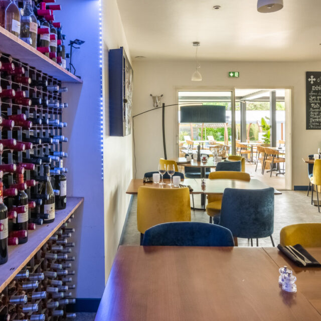
In the evening, the restaurant is on site — and the duck on the menu comes precisely from a producer in the Montagne Noire. That is not a detail: the north slope is a country of livestock, chestnuts and forests, and it shows on the plate.
Opening periods, access and swimming conditions change. Check with the Lauragais Audois Tourist Office before you set out.