Here is the complete inventory. Not a selection: the exhaustive list of everything within 15 minutes of 134 avenue Monseigneur de Langle, ranked by increasing distance.
There are eight sites. That is few, and it is a lot for a town of 11,000 people.
The list, by distance
| Site | Distance | Time | Type | Ticket |
| Collegiate church of Saint-Michel | 1.6 km | 3 min | heritage | no |
| Saint-Roch locks | 1.7 km | 3 min | canal | no |
| Grand Bassin | 1.9 km | 3 min | canal | no |
| Cugarel windmill | 2.2 km | 5 min | panorama | no |
| Castelnaudary station | 2.4 km | 5 min | transport | — |
| Villeneuve-la-Comptal | 6.5 km | 9 min | hills | no |
| Saint-Papoul abbey | 8.6 km | 10 min | heritage | yes |
| Issel | 9.8 km | 11 min | local craft (cassoles) | no |
| Mas-Saintes-Puelles | 9.2 km | 14 min | local craft (cassoles) | no |
And one site 17 minutes away that is worth breaking the rule for: the Naurouze watershed (15.3 km).
The three sites 3 minutes away
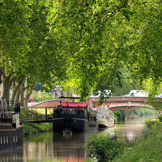
The Grand Bassin — 1.9 km, 3 min, free
Seven hectares: the largest body of water on the Canal du Midi. Riquet did not dig it for the beauty of it — a winter harbour and turning basin were needed, where long barges had to be able to come about.
The circuit is 2.5 flat kilometres, shaded by plane trees, and manageable with a pushchair or wheelchair for most of the way. Forty minutes. See Walks around Castelnaudary.
The Saint-Roch locks — 1.7 km, 3 min, free
Four chambers in a row, about ten metres of height. A boat takes 40 minutes to work through the lot, and you follow the manoeuvre on foot from the towpath.
Look at a chamber from above: it is oval, not rectangular. Riquet curved the walls so that the pressure of the surrounding earth acted in compression, as on an arch. That is why they have stood for 350 years, and one of the reasons for the canal’s UNESCO listing in 1996.
The right slot: 10 am-12 pm or 4-6 pm, when the hire boats are moving.
The collegiate church of Saint-Michel — 1.6 km, 3 min, free
13th-14th century, the landmark of the town. Four hundred metres away: the chapel of Notre-Dame-de-Pitié, with a 17th-century baroque interior behind a discreet façade — the most underrated site in Castelnaudary, a five-minute visit. And the old Présidial (16th century), which houses the Musée du Lauragais.
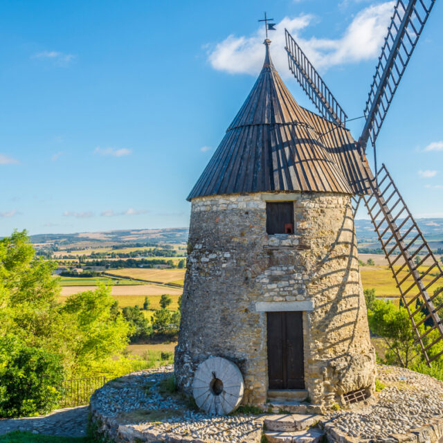
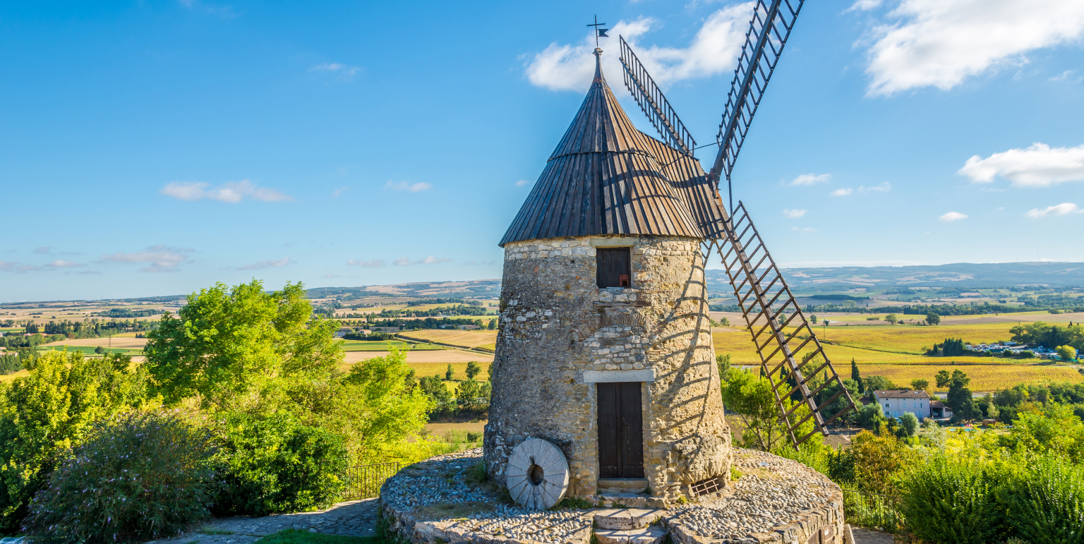
The Cugarel windmill — 2.2 km, 5 min, free
The last of the thirty-odd windmills that once crowned these hills: the Lauragais was the region’s granary.
From the knoll: the town, the plain, the canal, the Montagne Noire to the north and the Pyrenees to the south in clear weather. It is the only place from which the geography of the Lauragais makes sense at a glance — go first, and everything else falls into place.
Careful: the last 300 metres on foot are steep. There is parking at the top. The wind almost always blows: that is why there were windmills.
Saint-Papoul abbey — 8.6 km, 10 min, ticketed
A former Benedictine abbey, a cathedral from 1317 to 1801. The cloister and the sculptures attributed to the Master of Cabestany make it one of the most interesting Romanesque sites in the département.
The only ticketed site on the list, and it is worth it. Allow 1 hr.
Issel and Mas-Saintes-Puelles — 11 and 14 min, free
The two villages that explain cassoulet, and nobody goes there.
The cassole — the conical earthenware dish that gave the dish its name — has been made here for centuries. This is not a folkloric detail: the porous clay regulates a slow cooking that nothing else reproduces, and the flared shape maximises the surface of the crust.
You will not make a real cassoulet at home without bringing one back. See Markets and local producers around Castelnaudary.
Villeneuve-la-Comptal — 6.5 km, 9 min, free
The starting point of the walk that gives you the Lauragais: hills, cereal fields, sunflowers in summer, and a horizon running from the Montagne Noire to the Pyrenees.
5 to 7 km, 2 hr, about 120 m of elevation gain, and virtually no shade. In July and August, set off before 10 am or after 6 pm.
The Naurouze watershed — 17 min, and worth the extra two minutes
15.3 km. The point where the waters of the Canal du Midi divide, at 189 metres.
This is where the water chooses its ocean: the Atlantic on one side, the Mediterranean on the other. And it is the problem that nearly killed the project: a canal that climbs to 189 m needs water at the top, and there is no river at that altitude in the Lauragais.
Riquet’s solution: go and fetch it from the Montagne Noire, more than 30 km away, and bring it here through a network of channels.
A 19th-century obelisk, an avenue of plane trees, the basin, and the Naurouze stones. An hour’s walk that explains the Canal du Midi better than a museum. See The locks of the Canal du Midi.
What lies just beyond
For context, once the 15-minute list is exhausted:
| Site | Time |
| Prouilhe (first Dominican monastery, 1206) | 18 min |
| Bram (circulade) | 18 min |
| Fanjeaux | 21 min |
| Revel (bastide town, medieval market hall) | 24 min |
| Lake Saint-Ferréol | 25 min |
| Saissac castle | 26 min |
| Carcassonne | 34 min |
What that means in practice
Three minutes from your room there is a UNESCO-listed canal with a working water staircase. Five minutes away, the best panorama in the Lauragais. Ten minutes away, a 14th-century cathedral. Fourteen minutes away, the workshops that have been making cassoles for centuries. Seventeen minutes away, the point where the waters divide between the Atlantic and the Mediterranean.
Le Clos Fleuri also has an outdoor pool, a sun terrace, a garden and a restaurant — where the cassoulet is handmade and the duck comes from a producer in the Montagne Noire.
You can fill three days without ever driving more than 17 minutes. That is rare, and it is the real reason to stay rather than pass through.
Opening periods for ticketed sites and interiors change. Check with the Lauragais Audois Tourist Office.